Church Lane, Rocester
Introduction
The photograph on this page of Church Lane, Rocester by David Weston as part of the Geograph project.
The Geograph project started in 2005 with the aim of publishing, organising and preserving representative images for every square kilometre of Great Britain, Ireland and the Isle of Man.

There are currently over 7.5m images from over 14,400 individuals and you can help contribute to the project by visiting https://www.geograph.org.uk
Church Lane, Rocester
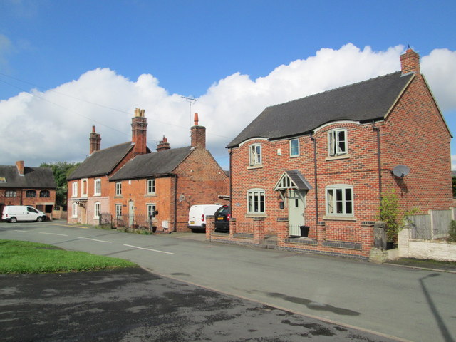
Image: © David Weston Taken: 28 Sep 2017
Looking towards the junction with Ashbourne Road. The house on the corner (with the tall chimneys) is called "The Former Queens Arms".
Images are licensed for reuse under creativecommons.org/licenses/by-sa/2.0
Image Location
Latitude
52.952319
Longitude
-1.838467