Road Through Yawl Bottom
Introduction
The photograph on this page of Road Through Yawl Bottom by Nigel Mykura as part of the Geograph project.
The Geograph project started in 2005 with the aim of publishing, organising and preserving representative images for every square kilometre of Great Britain, Ireland and the Isle of Man.

There are currently over 7.5m images from over 14,400 individuals and you can help contribute to the project by visiting https://www.geograph.org.uk
Road Through Yawl Bottom
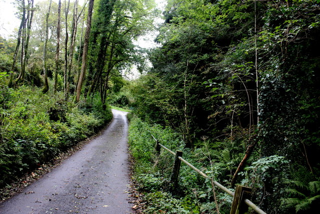
Image: © Nigel Mykura Taken: 29 Sep 2017
At first after leaving the Uplyme Road, the lane runs along the side of the stream (seen here on the right) but then it bends to the left and climbs up out of the bottom and up to St Mary's Lane which follows the contours along the valley side above the bottom before dropping back down and rejoining the Uplyme Road.
Images are licensed for reuse under creativecommons.org/licenses/by-sa/2.0
Image Location
Latitude
50.74732
Longitude
-2.970446