Road junction, Upper Froyle
Introduction
The photograph on this page of Road junction, Upper Froyle by Peter S as part of the Geograph project.
The Geograph project started in 2005 with the aim of publishing, organising and preserving representative images for every square kilometre of Great Britain, Ireland and the Isle of Man.

There are currently over 7.5m images from over 14,400 individuals and you can help contribute to the project by visiting https://www.geograph.org.uk
Road junction, Upper Froyle
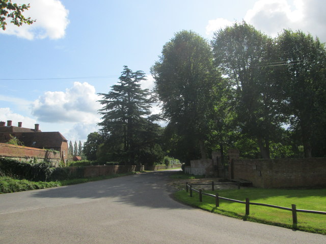
Image: © Peter S Taken: 12 Sep 2017
Upper Froyle is a village in east Hampshire and is passed through on the St Swithun’s Way which coincides with part of the much longer Pilgrim’s Way.
Images are licensed for reuse under creativecommons.org/licenses/by-sa/2.0
Image Location


Leaflet Map data © OpenStreetMap
Latitude
51.177944
Longitude
-0.922871