St Swithun?s Way signs, Upper Froyle
Introduction
The photograph on this page of St Swithun?s Way signs, Upper Froyle by Peter S as part of the Geograph project.
The Geograph project started in 2005 with the aim of publishing, organising and preserving representative images for every square kilometre of Great Britain, Ireland and the Isle of Man.

There are currently over 7.5m images from over 14,400 individuals and you can help contribute to the project by visiting https://www.geograph.org.uk
St Swithun?s Way signs, Upper Froyle
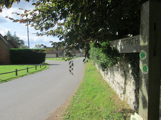
Image: © Peter S Taken: 12 Sep 2017
The St Swithun’s Way runs for 34 miles between Winchester in Hampshire and Farnham in Surrey. The waymarker for the route shows a green arrow with a shell and two croziers on a white circular background. The waymarked route is generally considered to be the first part of the historical Pilgrim’s Way since it links up with the North Downs Way at Farnham. St Swithun, who the route is named after, was born in Winchester.
Images are licensed for reuse under creativecommons.org/licenses/by-sa/2.0
Image Location


Leaflet Map data © OpenStreetMap
Latitude
51.178217
Longitude
-0.923151