Broomend of Crichie Stone Circle (5)
Introduction
The photograph on this page of Broomend of Crichie Stone Circle (5) by Anne Burgess as part of the Geograph project.
The Geograph project started in 2005 with the aim of publishing, organising and preserving representative images for every square kilometre of Great Britain, Ireland and the Isle of Man.

There are currently over 7.5m images from over 14,400 individuals and you can help contribute to the project by visiting https://www.geograph.org.uk
Broomend of Crichie Stone Circle (5)
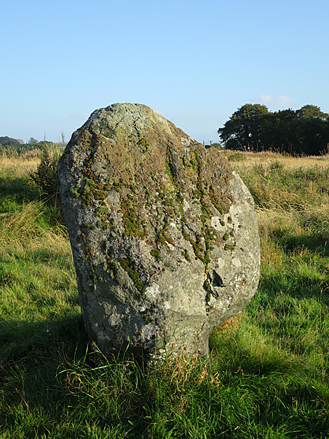
Image: © Anne Burgess Taken: 29 Sep 2017
This is the most easterly of the three stones in the circle, and is in its original position. It broadens out in a bulbous curve from a narrower base. https://canmore.org.uk/site/294046/broomend-of-crichie for details. Image]
Images are licensed for reuse under creativecommons.org/licenses/by-sa/2.0
Image Location
Latitude
57.267149
Longitude
-2.367729