The River Lea
Introduction
The photograph on this page of The River Lea by Marathon as part of the Geograph project.
The Geograph project started in 2005 with the aim of publishing, organising and preserving representative images for every square kilometre of Great Britain, Ireland and the Isle of Man.

There are currently over 7.5m images from over 14,400 individuals and you can help contribute to the project by visiting https://www.geograph.org.uk
The River Lea
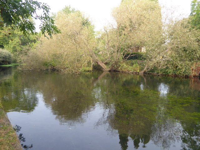
Image: © Marathon Taken: 27 Sep 2017
The original River Lea flowed 70 miles from Leagrove Marsh near Luton to the River Thames at Bow Creek. The River Lee Act of 1766 provided for the construction of 15 new cuts to straighten the course of the river by eliminating loops which made it difficult to navigate. The River Lee Navigation just west of here is one of those cuts and hence it is a navigation rather than a river. This though is the River Lea which unlike the Lee Navigation is not accessible here. Historically the river is spelled Lea while the navigation is Lee. The London LOOP follows the River Lea here for a short distance after descending into the Lea Valley from Epping Forest.
Images are licensed for reuse under creativecommons.org/licenses/by-sa/2.0
Image Location
Latitude
51.665825
Longitude
-0.016997