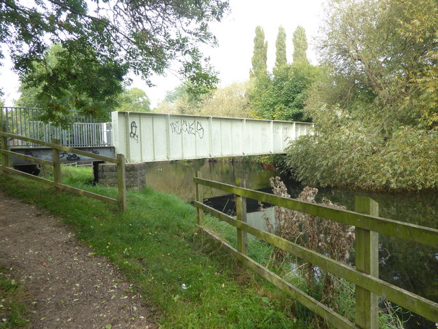
Former railway bridge over the River Lea
Introduction
The photograph on this page of Former railway bridge over the River Lea by Marathon as part of the Geograph project.
The Geograph project started in 2005 with the aim of publishing, organising and preserving representative images for every square kilometre of Great Britain, Ireland and the Isle of Man.
There are currently over 7.5m images from over 14,400 individuals and you can help contribute to the project by visiting https://www.geograph.org.uk

Image: © Marathon Taken: 27 Sep 2017
The original River Lea flowed 70 miles from Leagrove Marsh near Luton to the River Thames at Bow Creek. The River Lee Act of 1766 provided for the construction of 15 new cuts to straighten the course of the river by eliminating loops which made it difficult to navigate. The River Lee Navigation just west of here is one of those cuts and hence it is a navigation rather than a river. This though is the River Lea which unlike the Lee Navigation is not accessible here. Historically the river is spelled Lea while the navigation is Lee. The London LOOP follows the River Lea here for a short distance. This bridge was originally built to carry goods trains serving the former Royal Small Arms Factory (RSAF) via a branch off the Lea Valley Line in Brimsdown. It was built in 1915 and by 1917 was handling 70 trucks per day. Its route can be seen in this OS One Inch 7th series map dated 1955-61 http://maps.nls.uk/geo/explore/#zoom=15&lat=51.6630&lon=-0.0227&layers=11&b=1 The RSAF closed in the late 1980s but the bridge had been abandoned in the 1960s. It remained derelict until it was refurbished and opened for public use in 2013.

