River Don
Introduction
The photograph on this page of River Don by Anne Burgess as part of the Geograph project.
The Geograph project started in 2005 with the aim of publishing, organising and preserving representative images for every square kilometre of Great Britain, Ireland and the Isle of Man.

There are currently over 7.5m images from over 14,400 individuals and you can help contribute to the project by visiting https://www.geograph.org.uk
River Don
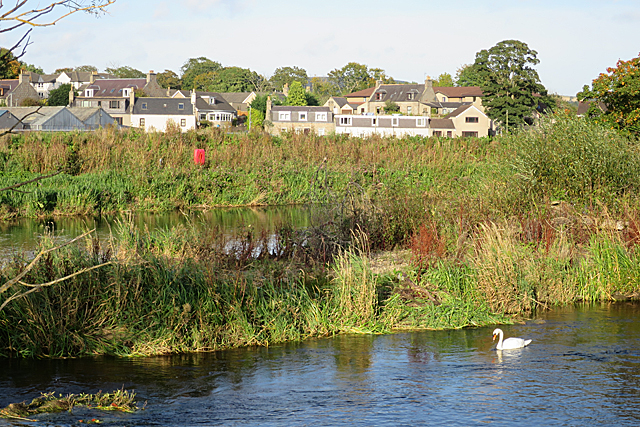
Image: © Anne Burgess Taken: 29 Sep 2017
Both channels of the river can be seen here, with the tip of Broom Inch between them. In the background are houses off Keithhal Road in Inverurie.
Images are licensed for reuse under creativecommons.org/licenses/by-sa/2.0
Image Location
Latitude
57.275764
Longitude
-2.3708