Mill Lade
Introduction
The photograph on this page of Mill Lade by Anne Burgess as part of the Geograph project.
The Geograph project started in 2005 with the aim of publishing, organising and preserving representative images for every square kilometre of Great Britain, Ireland and the Isle of Man.

There are currently over 7.5m images from over 14,400 individuals and you can help contribute to the project by visiting https://www.geograph.org.uk
Mill Lade
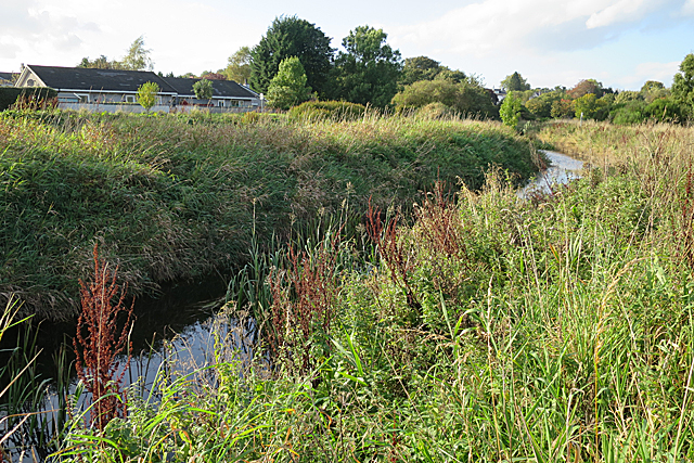
Image: © Anne Burgess Taken: 29 Sep 2017
The canal feeder runs parallel to the mill lade, between the lade and the modern houses on the canal bank.
Images are licensed for reuse under creativecommons.org/licenses/by-sa/2.0
Image Location
Latitude
57.274419
Longitude
-2.370123