Rough Ground
Introduction
The photograph on this page of Rough Ground by Anne Burgess as part of the Geograph project.
The Geograph project started in 2005 with the aim of publishing, organising and preserving representative images for every square kilometre of Great Britain, Ireland and the Isle of Man.

There are currently over 7.5m images from over 14,400 individuals and you can help contribute to the project by visiting https://www.geograph.org.uk
Rough Ground
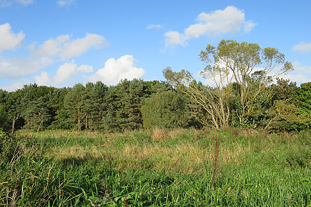
Image: © Anne Burgess Taken: 29 Sep 2017
The satellite view seems to show pits and hollows on this piece of land between the lade and the River Don, but none of the maps gives any indication of what might have been here. I assumed it would be boggy and potentially dangerous and decided not to investigate more closely.
Images are licensed for reuse under creativecommons.org/licenses/by-sa/2.0
Image Location
Latitude
57.274062
Longitude
-2.369124