Canal Feeder
Introduction
The photograph on this page of Canal Feeder by Anne Burgess as part of the Geograph project.
The Geograph project started in 2005 with the aim of publishing, organising and preserving representative images for every square kilometre of Great Britain, Ireland and the Isle of Man.

There are currently over 7.5m images from over 14,400 individuals and you can help contribute to the project by visiting https://www.geograph.org.uk
Canal Feeder
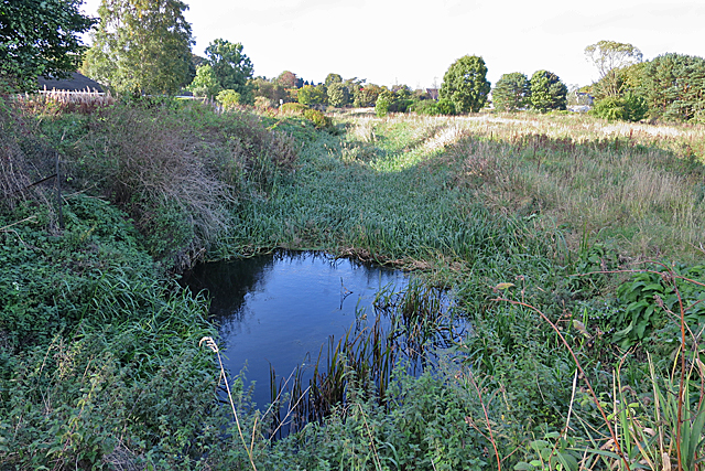
Image: © Anne Burgess Taken: 29 Sep 2017
This rather overgrown waterway is the northern part of the canal, through which the canal was supplied with water from a sluice on the River Don. As you can see, it's deep and rather overgrown with vegetation. Not a good place for a swim, voluntarily or otherwise.
Images are licensed for reuse under creativecommons.org/licenses/by-sa/2.0
Image Location
Latitude
57.27388
Longitude
-2.369952