Rhys Street, Trealaw
Introduction
The photograph on this page of Rhys Street, Trealaw by Jaggery as part of the Geograph project.
The Geograph project started in 2005 with the aim of publishing, organising and preserving representative images for every square kilometre of Great Britain, Ireland and the Isle of Man.

There are currently over 7.5m images from over 14,400 individuals and you can help contribute to the project by visiting https://www.geograph.org.uk
Rhys Street, Trealaw
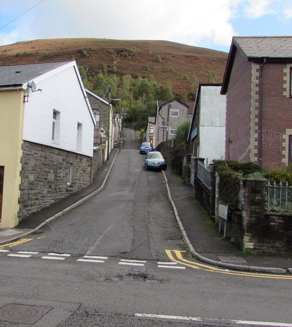
Image: © Jaggery Taken: 28 Sep 2017
Ascending from Miskin Road. The white-sided building near the car on the right is Trealaw Elim Pentecostal Church.
Images are licensed for reuse under creativecommons.org/licenses/by-sa/2.0
Image Location
Latitude
51.621823
Longitude
-3.449368