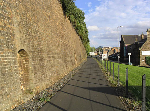
The Black Path at Ladhope Vale
Introduction
The photograph on this page of The Black Path at Ladhope Vale by Walter Baxter as part of the Geograph project.
The Geograph project started in 2005 with the aim of publishing, organising and preserving representative images for every square kilometre of Great Britain, Ireland and the Isle of Man.
There are currently over 7.5m images from over 14,400 individuals and you can help contribute to the project by visiting https://www.geograph.org.uk

Image: © Walter Baxter Taken: 2 Sep 2007
This footpath, known locally as the Black Path, runs on the route of the former Waverley Railway Line from Wheatlands Road in Galashiels to Tweedbank. The Waverley Line was closed in 1969 but it is planned to reopen on this path as a single track line. However, the Waverley Railway Bill stipulates that any paths severed by the line must be replaced with a functional alternative. Time will tell. The retaining wall on the left was built after a landslide in 1916.

