A690 entering Meadowfield
Introduction
The photograph on this page of A690 entering Meadowfield by Trevor Littlewood as part of the Geograph project.
The Geograph project started in 2005 with the aim of publishing, organising and preserving representative images for every square kilometre of Great Britain, Ireland and the Isle of Man.

There are currently over 7.5m images from over 14,400 individuals and you can help contribute to the project by visiting https://www.geograph.org.uk
A690 entering Meadowfield
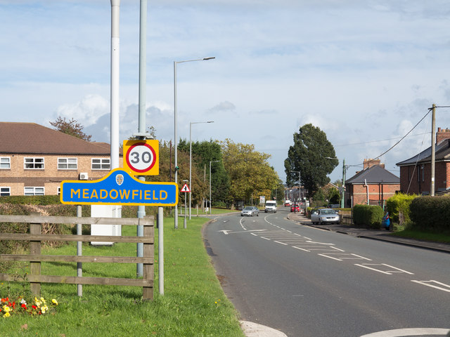
Image: © Trevor Littlewood Taken: 29 Sep 2017
The A690 is passing Brandon and entering Meadowfield which is in County Durham as is indicated by the blue and yellow road sign which is the county style for signage, though it's not universal; Brandon of course is also in the county. The building behind the sign is a health centre.
Images are licensed for reuse under creativecommons.org/licenses/by-sa/2.0
Image Location
Latitude
54.74791
Longitude
-1.629148