Farm buildings near High Marnham
Introduction
The photograph on this page of Farm buildings near High Marnham by Alan Murray-Rust as part of the Geograph project.
The Geograph project started in 2005 with the aim of publishing, organising and preserving representative images for every square kilometre of Great Britain, Ireland and the Isle of Man.

There are currently over 7.5m images from over 14,400 individuals and you can help contribute to the project by visiting https://www.geograph.org.uk
Farm buildings near High Marnham
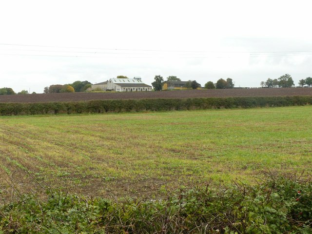
Image: © Alan Murray-Rust Taken: 28 Sep 2017
There doesn't appear to ever have been a farmhouse here and the location is unnamed on OS mapping. Taking from the intriguingly named Polly Taylor's Road. Who was she?
Images are licensed for reuse under creativecommons.org/licenses/by-sa/2.0
Image Location
Latitude
53.227735
Longitude
-0.807731