Ffordd Rhewl Fawr
Introduction
The photograph on this page of Ffordd Rhewl Fawr by Jonathan Wilkins as part of the Geograph project.
The Geograph project started in 2005 with the aim of publishing, organising and preserving representative images for every square kilometre of Great Britain, Ireland and the Isle of Man.

There are currently over 7.5m images from over 14,400 individuals and you can help contribute to the project by visiting https://www.geograph.org.uk
Ffordd Rhewl Fawr
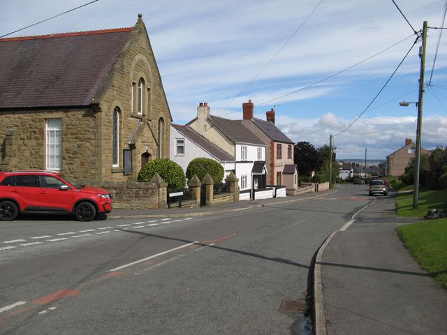
Image: © Jonathan Wilkins Taken: 16 Sep 2017
Looking down the main road in Rhewl Fawr with its distant view of the Dee estuary and Wirral. The chapel is dated 1805 and the incision attributes it to the Calvinist Methodist congregation, though the modern sign states Gwynfa Welsh Presbyterian chapel.
Images are licensed for reuse under creativecommons.org/licenses/by-sa/2.0
Image Location
Latitude
53.325832
Longitude
-3.309484