Former "Bay Horse", Burnrigg - September 2017 (1)
Introduction
The photograph on this page of Former "Bay Horse", Burnrigg - September 2017 (1) by The Carlisle Kid as part of the Geograph project.
The Geograph project started in 2005 with the aim of publishing, organising and preserving representative images for every square kilometre of Great Britain, Ireland and the Isle of Man.

There are currently over 7.5m images from over 14,400 individuals and you can help contribute to the project by visiting https://www.geograph.org.uk
Former "Bay Horse", Burnrigg - September 2017 (1)
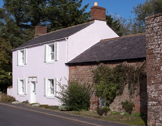
Image: © The Carlisle Kid Taken: 29 Sep 2017
Believed to date from the 18th Century, the "Bay Horse" was a single room "ale house", situated on the ground floor of this building. It was closed by the State Management Scheme on 25 August 1916, the house becoming "Croft Farm" and is still marked as such on the current OS Map. Private dwelling with no public access. See also: Image] and Image] .
Images are licensed for reuse under creativecommons.org/licenses/by-sa/2.0
Image Location
Latitude
54.894742
Longitude
-2.814163