Staunton Manor House Farm
Introduction
The photograph on this page of Staunton Manor House Farm by Neil Owen as part of the Geograph project.
The Geograph project started in 2005 with the aim of publishing, organising and preserving representative images for every square kilometre of Great Britain, Ireland and the Isle of Man.

There are currently over 7.5m images from over 14,400 individuals and you can help contribute to the project by visiting https://www.geograph.org.uk
Staunton Manor House Farm
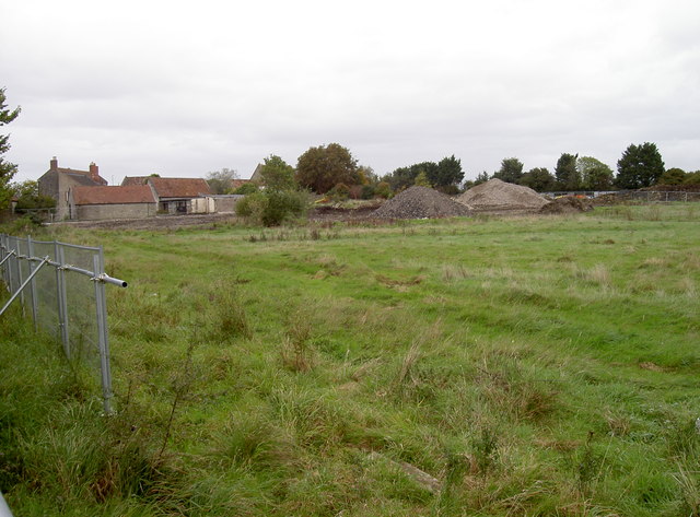
Image: © Neil Owen Taken: 29 Sep 2017
An old farmhouse, recently home to equine rescue charity, Horseworld, is currently being partly excavated for a new housing development. Some of the outbuildings are now piles of rubble.
Images are licensed for reuse under creativecommons.org/licenses/by-sa/2.0
Image Location
Latitude
51.404146
Longitude
-2.551992