Waterloo Lane, Holwell
Introduction
The photograph on this page of Waterloo Lane, Holwell by Humphrey Bolton as part of the Geograph project.
The Geograph project started in 2005 with the aim of publishing, organising and preserving representative images for every square kilometre of Great Britain, Ireland and the Isle of Man.

There are currently over 7.5m images from over 14,400 individuals and you can help contribute to the project by visiting https://www.geograph.org.uk
Waterloo Lane, Holwell
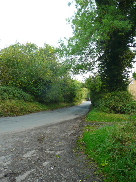
Image: © Humphrey Bolton Taken: 26 Sep 2017
I stopped here to see if any of the moat was visible, and thought that is wasn't. However a close look at the map suggests that it might have been possible to see one end of it, possibly just a ditch.
Images are licensed for reuse under creativecommons.org/licenses/by-sa/2.0
Image Location
Latitude
51.98188
Longitude
-0.309599