
View of King George's Reservoir from the London LOOP
Introduction
The photograph on this page of View of King George's Reservoir from the London LOOP by Marathon as part of the Geograph project.
The Geograph project started in 2005 with the aim of publishing, organising and preserving representative images for every square kilometre of Great Britain, Ireland and the Isle of Man.

There are currently over 7.5m images from over 14,400 individuals and you can help contribute to the project by visiting https://www.geograph.org.uk
View of King George's Reservoir from the London LOOP
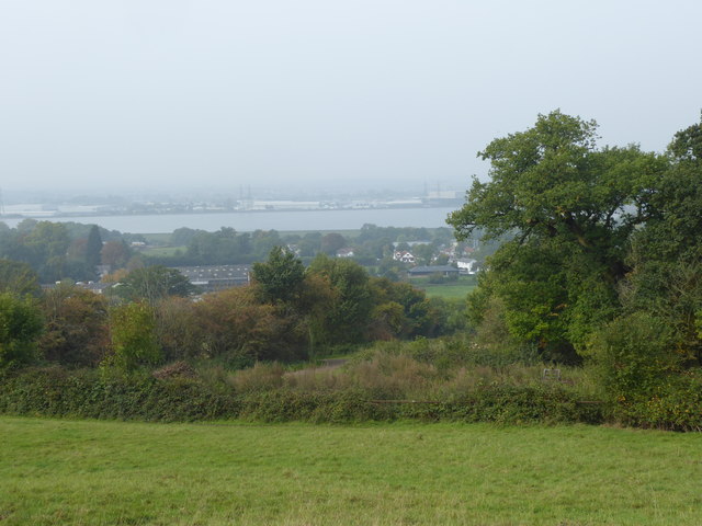
Image: © Marathon Taken: 27 Sep 2017
The London LOOP heads uphill from Daws Hill to pass near the top of Barn Hill. On the way up this provides fine views across the Lea Valley. In this photograph on a misty early autumn day after a foggy start King George's Reservoir can be seen below. For King George's Reservoir, the excavation and building of the surrounding embankment of the reservoir, nearly five miles in length, was carried out almost entirely by a manual labour force of 1,000 navvies, and the surplus excavated clay was spread over part of Hackney Marsh. In 1913 King George Vth and Queen Mary named the reservoir and pressed the buttons allowing water from the River Lea to start flowing into the storage bowl.
Images are licensed for reuse under creativecommons.org/licenses/by-sa/2.0
Image Location

Latitude
51.656436
Longitude
0.001099