Gask
Introduction
The photograph on this page of Gask by Anne Burgess as part of the Geograph project.
The Geograph project started in 2005 with the aim of publishing, organising and preserving representative images for every square kilometre of Great Britain, Ireland and the Isle of Man.

There are currently over 7.5m images from over 14,400 individuals and you can help contribute to the project by visiting https://www.geograph.org.uk
Gask
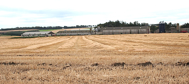
Image: © Anne Burgess Taken: 13 Sep 2007
The grid line goes right through the farm buildings at Gask. The tall byre at right is in this square, but the sheds to the left are in the next square.
Images are licensed for reuse under creativecommons.org/licenses/by-sa/2.0
Image Location
Latitude
57.515066
Longitude
-2.452682