Grazing land in Lorton Vale
Introduction
The photograph on this page of Grazing land in Lorton Vale by Ian Taylor as part of the Geograph project.
The Geograph project started in 2005 with the aim of publishing, organising and preserving representative images for every square kilometre of Great Britain, Ireland and the Isle of Man.

There are currently over 7.5m images from over 14,400 individuals and you can help contribute to the project by visiting https://www.geograph.org.uk
Grazing land in Lorton Vale
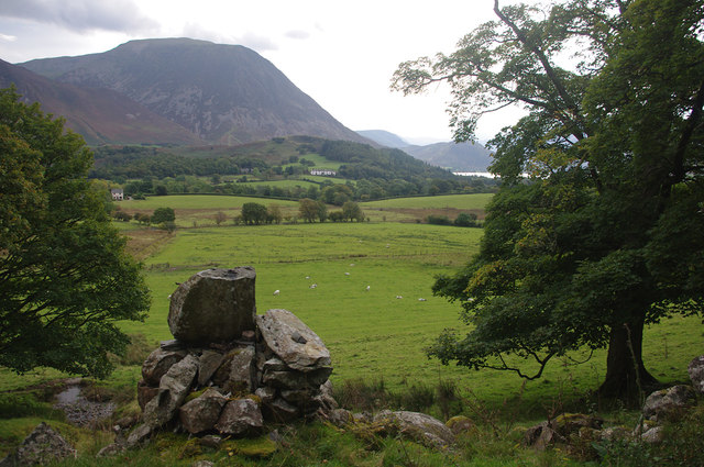
Image: © Ian Taylor Taken: 24 Sep 2017
Looking SE from Pottergill. A ruined building is in the foreground. The low hill in the mid distance is Brackenthwaite Hows. Grasmoor rises beyond that, with a glimpse of Crummock Water on the right.
Images are licensed for reuse under creativecommons.org/licenses/by-sa/2.0
Image Location
Latitude
54.588516
Longitude
-3.327079