The World's End Public House
Introduction
The photograph on this page of The World's End Public House by R J McNaughton as part of the Geograph project.
The Geograph project started in 2005 with the aim of publishing, organising and preserving representative images for every square kilometre of Great Britain, Ireland and the Isle of Man.

There are currently over 7.5m images from over 14,400 individuals and you can help contribute to the project by visiting https://www.geograph.org.uk
The World's End Public House
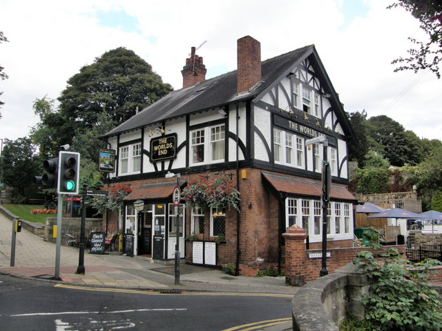
Image: © R J McNaughton Taken: 13 Sep 2007
So called because of Mother Shipton's prediction that the world would end when the nearby bridge fell three times. The current bridge is the third bridge to be built.
Images are licensed for reuse under creativecommons.org/licenses/by-sa/2.0
Image Location
Latitude
54.009758
Longitude
-1.474298