Estate Road, Clandeboye, Bangor (September 2017)
Introduction
The photograph on this page of Estate Road, Clandeboye, Bangor (September 2017) by Albert Bridge as part of the Geograph project.
The Geograph project started in 2005 with the aim of publishing, organising and preserving representative images for every square kilometre of Great Britain, Ireland and the Isle of Man.

There are currently over 7.5m images from over 14,400 individuals and you can help contribute to the project by visiting https://www.geograph.org.uk
Estate Road, Clandeboye, Bangor (September 2017)
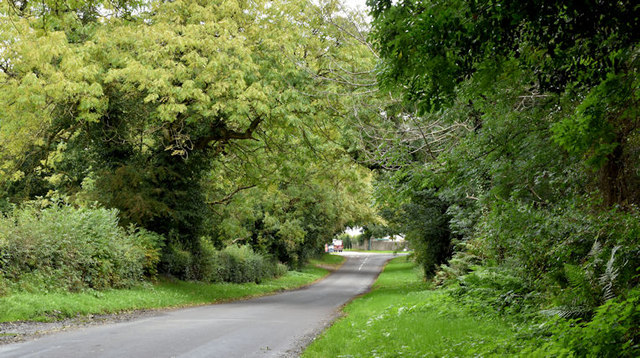
Image: © Albert Bridge Taken: 28 Sep 2017
See Image (January 2007). The same road, still without name signs. Anonymous on the Google map, the Philips street atlas shows it as “Estate Road”. The council name signs, however, name the private road, into the Clandeboye Estate (background, lower middle), as Estate Road. This view is towards the Crawfordsburn Road.
Images are licensed for reuse under creativecommons.org/licenses/by-sa/2.0
Image Location
Latitude
54.634556
Longitude
-5.722021