Aylands Open Space
Introduction
The photograph on this page of Aylands Open Space by Marathon as part of the Geograph project.
The Geograph project started in 2005 with the aim of publishing, organising and preserving representative images for every square kilometre of Great Britain, Ireland and the Isle of Man.

There are currently over 7.5m images from over 14,400 individuals and you can help contribute to the project by visiting https://www.geograph.org.uk
Aylands Open Space
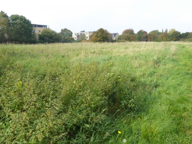
Image: © Marathon Taken: 27 Sep 2017
This small park is reasonably formal north of Turkey Street and the Turkey Brook but turns into the informal grassland seen here as it comes alongside Aylands School.
Images are licensed for reuse under creativecommons.org/licenses/by-sa/2.0
Image Location
Latitude
51.673863
Longitude
-0.045862