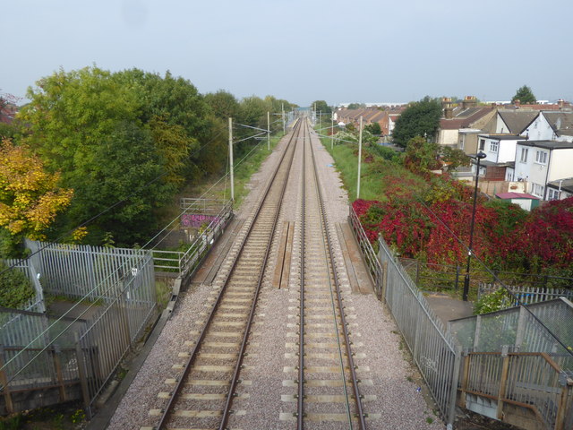
Approaching Enfield Lock station
Introduction
The photograph on this page of Approaching Enfield Lock station by Marathon as part of the Geograph project.
The Geograph project started in 2005 with the aim of publishing, organising and preserving representative images for every square kilometre of Great Britain, Ireland and the Isle of Man.
There are currently over 7.5m images from over 14,400 individuals and you can help contribute to the project by visiting https://www.geograph.org.uk

Image: © Marathon Taken: 27 Sep 2017
The railway line from Stratford to Broxbourne via Waltham Cross was opened by the Northern & Eastern Railway on 15th September 1840. Enfield Lock station was opened by the Eastern Counties Railway in 1855 as Ordnance Factory, and later renamed in 1886 to Enfield Lock. The lines through Enfield Lock were electrified on 5th May 1969. Enfield Lock was the main station for the Royal Small Arms Factory until its closure in the late 1980s, and now serves the large housing development on the site known as Enfield Island Village, as well as the nearby Innova Science and Business Park. This view is from the footbridge which carries the London LOOP over the line. The bridge a few yards ahead takes the Turkey Brook under the line. Enfield Lock station can be seen in the distance.

