Lane in Hangman's Hill
Introduction
The photograph on this page of Lane in Hangman's Hill by Jonathan Thacker as part of the Geograph project.
The Geograph project started in 2005 with the aim of publishing, organising and preserving representative images for every square kilometre of Great Britain, Ireland and the Isle of Man.

There are currently over 7.5m images from over 14,400 individuals and you can help contribute to the project by visiting https://www.geograph.org.uk
Lane in Hangman's Hill
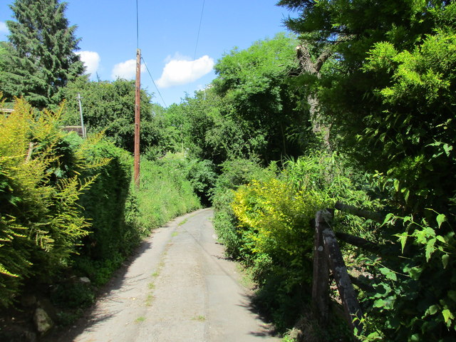
Image: © Jonathan Thacker Taken: 15 Jun 2017
Hangman's Hill is one of the Forest of Dean's many squatter settlements. There are houses all around but many are well hidden by trees.
Images are licensed for reuse under creativecommons.org/licenses/by-sa/2.0
Image Location
Latitude
51.832355
Longitude
-2.459112