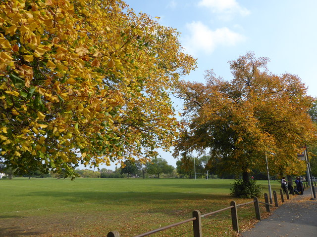
Alongside Warwick Terrace, Plumstead Common
Introduction
The photograph on this page of Alongside Warwick Terrace, Plumstead Common by Marathon as part of the Geograph project.
The Geograph project started in 2005 with the aim of publishing, organising and preserving representative images for every square kilometre of Great Britain, Ireland and the Isle of Man.
There are currently over 7.5m images from over 14,400 individuals and you can help contribute to the project by visiting https://www.geograph.org.uk

Image: © Marathon Taken: 26 Sep 2017
Plumstead Common was purchased for the people in 1877. Before that, the parish council had grazing rights and free access, even though the land was owned by Queens College, Oxford. From 1871 the college had allowed the Army access and it was largely turned into a military training ground. This led to a storm of protest and a procession to the Common took place. Their leader was temporarily imprisoned and further protest took place until an Act of Parliament authorised purchase of the Common by the Metropolitan Board of Works. This view looks along Warwick Terrace. This used to be a bus terminus when Routemasters operated Route 53 and I have a photograph from 1987 of five Routemasters lined up along here. In those days the route ran as far as Parliament Hill Fields but now only one school bus route actually starts from here.

