Stream, Stile, Field
Introduction
The photograph on this page of Stream, Stile, Field by Tony Atkin as part of the Geograph project.
The Geograph project started in 2005 with the aim of publishing, organising and preserving representative images for every square kilometre of Great Britain, Ireland and the Isle of Man.

There are currently over 7.5m images from over 14,400 individuals and you can help contribute to the project by visiting https://www.geograph.org.uk
Stream, Stile, Field
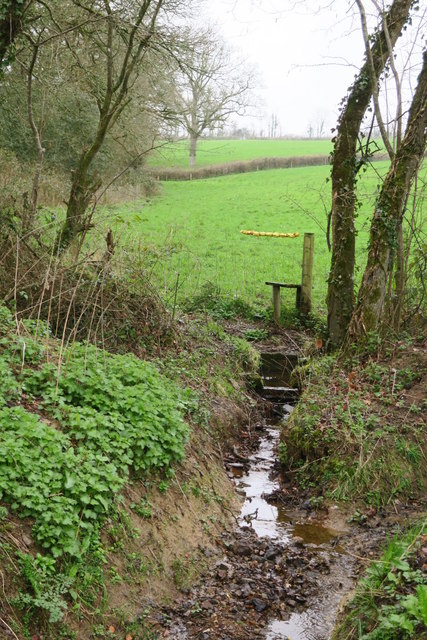
Image: © Tony Atkin Taken: 18 Mar 2017
No public right of way here but this stile and the 'bandaged' barbed wire above it is probably a short cut for the farmer.
Images are licensed for reuse under creativecommons.org/licenses/by-sa/2.0
Image Location
Latitude
50.766152
Longitude
-3.746788