King's Walden from the air
Introduction
The photograph on this page of King's Walden from the air by M J Richardson as part of the Geograph project.
The Geograph project started in 2005 with the aim of publishing, organising and preserving representative images for every square kilometre of Great Britain, Ireland and the Isle of Man.

There are currently over 7.5m images from over 14,400 individuals and you can help contribute to the project by visiting https://www.geograph.org.uk
King's Walden from the air
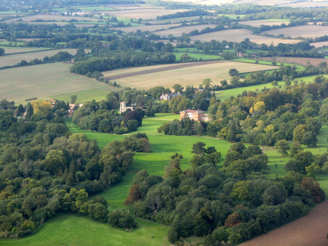
Image: © M J Richardson Taken: 20 Sep 2017
Looking north just over 3km from landing at Luton Airport from the east. For an early spring view see Image
Images are licensed for reuse under creativecommons.org/licenses/by-sa/2.0
Image Location


Leaflet Map data © OpenStreetMap
Latitude
51.897694
Longitude
-0.314214