Inverlochy
Introduction
The photograph on this page of Inverlochy by Richard Webb as part of the Geograph project.
The Geograph project started in 2005 with the aim of publishing, organising and preserving representative images for every square kilometre of Great Britain, Ireland and the Isle of Man.

There are currently over 7.5m images from over 14,400 individuals and you can help contribute to the project by visiting https://www.geograph.org.uk
Inverlochy
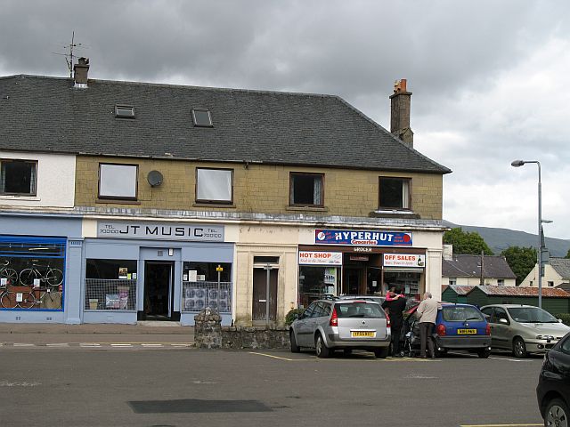
Image: © Richard Webb Taken: 2 Aug 2007
Fort William is a sprawl of connected developments strung around the bend of Loch Eil and Loch Linnhe for 9km. Inverlochy was built to house workers at the aluminium smelter. The bike shop here is very good and very helpful.
Images are licensed for reuse under creativecommons.org/licenses/by-sa/2.0
Image Location
Latitude
56.824559
Longitude
-5.093878