Landkey: towards Venn Quarry
Introduction
The photograph on this page of Landkey: towards Venn Quarry by Martin Bodman as part of the Geograph project.
The Geograph project started in 2005 with the aim of publishing, organising and preserving representative images for every square kilometre of Great Britain, Ireland and the Isle of Man.

There are currently over 7.5m images from over 14,400 individuals and you can help contribute to the project by visiting https://www.geograph.org.uk
Landkey: towards Venn Quarry
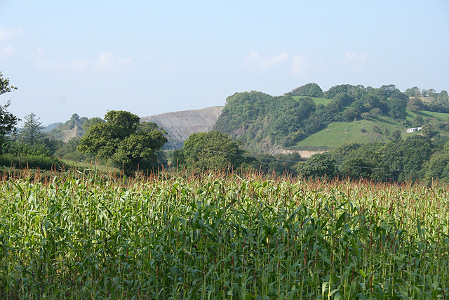
Image: © Martin Bodman Taken: 13 Sep 2007
Quarrying was a local activity for centuries. Venn underwent major development from 1936 but the quarry seen ahead is now closed. A neighbouring site was opened in 2002 but has been shut down since autumn 2006
Images are licensed for reuse under creativecommons.org/licenses/by-sa/2.0
Image Location
Latitude
51.058467
Longitude
-4.012923