Land Yeo at Clevedon
Introduction
The photograph on this page of Land Yeo at Clevedon by Derek Harper as part of the Geograph project.
The Geograph project started in 2005 with the aim of publishing, organising and preserving representative images for every square kilometre of Great Britain, Ireland and the Isle of Man.

There are currently over 7.5m images from over 14,400 individuals and you can help contribute to the project by visiting https://www.geograph.org.uk
Land Yeo at Clevedon
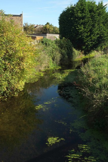
Image: © Derek Harper Taken: 22 Sep 2017
Looking upstream (right) from the footbridge shown in Image The Land Yeo used to power numerous mills along its course, at least two of them in Clevedon https://en.wikipedia.org/wiki/Land_Yeo#Mills .
Images are licensed for reuse under creativecommons.org/licenses/by-sa/2.0
Image Location
Latitude
51.432487
Longitude
-2.862046