Row of four houses, Warrington Road, Ince
Introduction
The photograph on this page of Row of four houses, Warrington Road, Ince by Jaggery as part of the Geograph project.
The Geograph project started in 2005 with the aim of publishing, organising and preserving representative images for every square kilometre of Great Britain, Ireland and the Isle of Man.

There are currently over 7.5m images from over 14,400 individuals and you can help contribute to the project by visiting https://www.geograph.org.uk
Row of four houses, Warrington Road, Ince
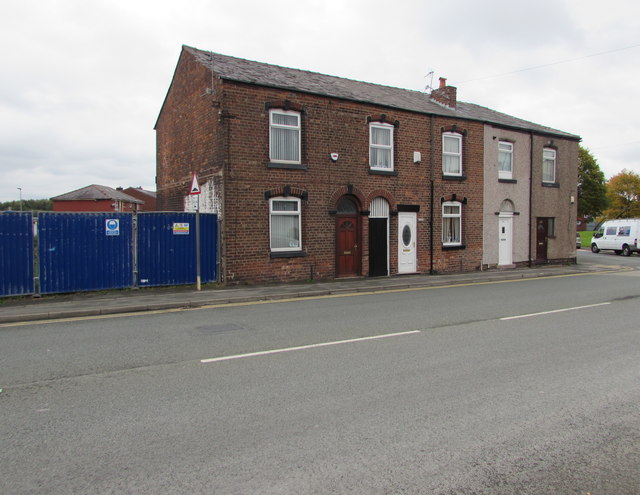
Image: © Jaggery Taken: 23 Sep 2017
The house on the right is on the corner of Manley Street.
Images are licensed for reuse under creativecommons.org/licenses/by-sa/2.0
Image Location
Latitude
53.536979
Longitude
-2.619941