Recreation ground, Clevedon
Introduction
The photograph on this page of Recreation ground, Clevedon by Derek Harper as part of the Geograph project.
The Geograph project started in 2005 with the aim of publishing, organising and preserving representative images for every square kilometre of Great Britain, Ireland and the Isle of Man.

There are currently over 7.5m images from over 14,400 individuals and you can help contribute to the project by visiting https://www.geograph.org.uk
Recreation ground, Clevedon
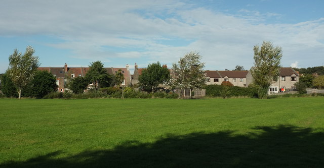
Image: © Derek Harper Taken: 22 Sep 2017
Looking to the right from where Image] was taken, towards housing on Strode Road. The Land Yeo runs along the far edge of the green space. Footpath LA22 63/10 runs across the image as well.
Images are licensed for reuse under creativecommons.org/licenses/by-sa/2.0
Image Location
Latitude
51.432131
Longitude
-2.861608