Recreation ground, Clevedon
Introduction
The photograph on this page of Recreation ground, Clevedon by Derek Harper as part of the Geograph project.
The Geograph project started in 2005 with the aim of publishing, organising and preserving representative images for every square kilometre of Great Britain, Ireland and the Isle of Man.

There are currently over 7.5m images from over 14,400 individuals and you can help contribute to the project by visiting https://www.geograph.org.uk
Recreation ground, Clevedon
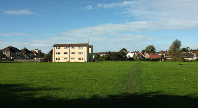
Image: © Derek Harper Taken: 22 Sep 2017
This public open space has been identified as having potential for residential or employment use https://www.n-somerset.gov.uk/wp-content/uploads/2015/11/Clevedon-site-appraisals.pdf . The space is crossed by footpath LA22 62/10, in the direction of the camera, to a bridge across the Land Yeo on the far side. It's also crossed by a footpath from left to right. The block of 12 flats is Bees House.
Images are licensed for reuse under creativecommons.org/licenses/by-sa/2.0
Image Location
Latitude
51.432222
Longitude
-2.861466