Heol Goch beyond Pentyrch
Introduction
The photograph on this page of Heol Goch beyond Pentyrch by Jaggery as part of the Geograph project.
The Geograph project started in 2005 with the aim of publishing, organising and preserving representative images for every square kilometre of Great Britain, Ireland and the Isle of Man.

There are currently over 7.5m images from over 14,400 individuals and you can help contribute to the project by visiting https://www.geograph.org.uk
Heol Goch beyond Pentyrch
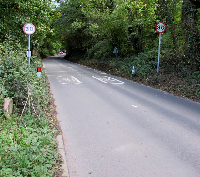
Image: © Jaggery Taken: 22 Sep 2017
The 20mph speed limit in Pentyrch increases to 30mph. This way to Taffs Well and Morganstown.
Images are licensed for reuse under creativecommons.org/licenses/by-sa/2.0
Image Location
Latitude
51.531919
Longitude
-3.294265