Disused farm
Introduction
The photograph on this page of Disused farm by Dave Smethurst as part of the Geograph project.
The Geograph project started in 2005 with the aim of publishing, organising and preserving representative images for every square kilometre of Great Britain, Ireland and the Isle of Man.

There are currently over 7.5m images from over 14,400 individuals and you can help contribute to the project by visiting https://www.geograph.org.uk
Disused farm
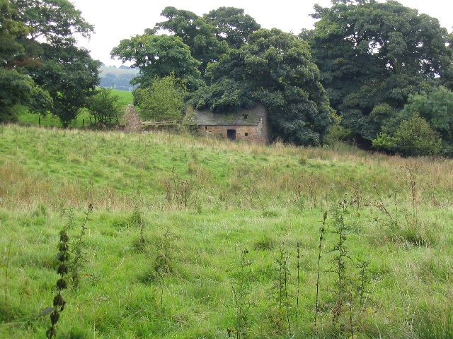
Image: © Dave Smethurst Taken: 17 Sep 2005
This picture was taken looking south from the Gritstone Trail at SJ948647. These disused farm buildings at SJ948647 appear to be labelled as Dumkins on the OS map.
Images are licensed for reuse under creativecommons.org/licenses/by-sa/2.0
Image Location


Leaflet Map data © OpenStreetMap
Latitude
53.178477
Longitude
-2.079259