Bridleway south of Essworthy
Introduction
The photograph on this page of Bridleway south of Essworthy by David Smith as part of the Geograph project.
The Geograph project started in 2005 with the aim of publishing, organising and preserving representative images for every square kilometre of Great Britain, Ireland and the Isle of Man.

There are currently over 7.5m images from over 14,400 individuals and you can help contribute to the project by visiting https://www.geograph.org.uk
Bridleway south of Essworthy
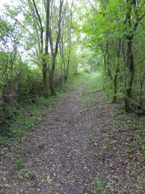
Image: © David Smith Taken: 18 Sep 2017
The saplings on each side are quite young, suggesting that the path was cleared of trees in the not-too-distant past
Images are licensed for reuse under creativecommons.org/licenses/by-sa/2.0
Image Location
Latitude
50.801504
Longitude
-4.065437