Fosse Way
Introduction
The photograph on this page of Fosse Way by Brian Green as part of the Geograph project.
The Geograph project started in 2005 with the aim of publishing, organising and preserving representative images for every square kilometre of Great Britain, Ireland and the Isle of Man.

There are currently over 7.5m images from over 14,400 individuals and you can help contribute to the project by visiting https://www.geograph.org.uk
Fosse Way
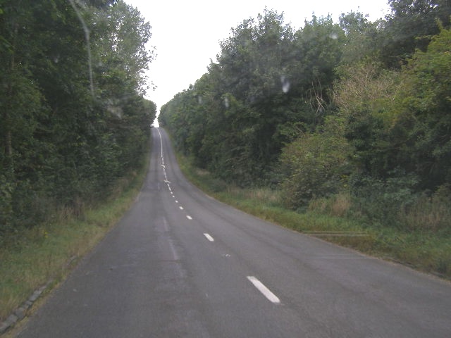
Image: © Brian Green Taken: 12 Sep 2007
Although Fosse Way, being a Roman road, is for the most part fairly straight, the Romans could not do anything about the gradients here on this part of Northleach Downs close to the present-day roundabout with the A40.
Images are licensed for reuse under creativecommons.org/licenses/by-sa/2.0
Image Location
Latitude
51.843377
Longitude
-1.82867