Damaged bench mark by The Smithy, High Street, Northop
Introduction
The photograph on this page of Damaged bench mark by The Smithy, High Street, Northop by John S Turner as part of the Geograph project.
The Geograph project started in 2005 with the aim of publishing, organising and preserving representative images for every square kilometre of Great Britain, Ireland and the Isle of Man.

There are currently over 7.5m images from over 14,400 individuals and you can help contribute to the project by visiting https://www.geograph.org.uk
Damaged bench mark by The Smithy, High Street, Northop
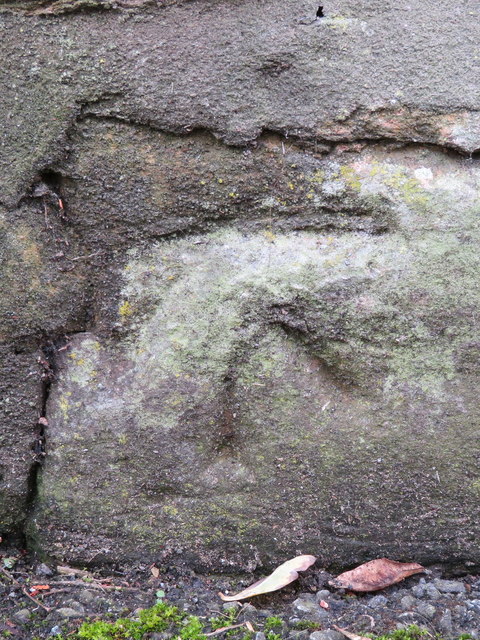
Image: © John S Turner Taken: 23 Sep 2017
This damaged Ordnance Survey bench mark is on the roadside wall by the corner of the old Smithy, High Street, Northop. It is no longer recorded on the O.S. database. See also Image
Images are licensed for reuse under creativecommons.org/licenses/by-sa/2.0
Image Location
Latitude
53.207105
Longitude
-3.131724