Hook Farm
Introduction
The photograph on this page of Hook Farm by Derek Harper as part of the Geograph project.
The Geograph project started in 2005 with the aim of publishing, organising and preserving representative images for every square kilometre of Great Britain, Ireland and the Isle of Man.

There are currently over 7.5m images from over 14,400 individuals and you can help contribute to the project by visiting https://www.geograph.org.uk
Hook Farm
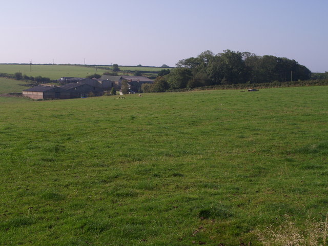
Image: © Derek Harper Taken: 13 Sep 2007
The farm is in a sheltered position near the head of a valley that drops down to meet the Taw two kilometres away. Seen from the ridgetop lane from Hansford Cross to Ashreigney.
Images are licensed for reuse under creativecommons.org/licenses/by-sa/2.0
Image Location
Latitude
50.9122
Longitude
-3.935191