Access track near Norleigh Barton
Introduction
The photograph on this page of Access track near Norleigh Barton by David Smith as part of the Geograph project.
The Geograph project started in 2005 with the aim of publishing, organising and preserving representative images for every square kilometre of Great Britain, Ireland and the Isle of Man.

There are currently over 7.5m images from over 14,400 individuals and you can help contribute to the project by visiting https://www.geograph.org.uk
Access track near Norleigh Barton
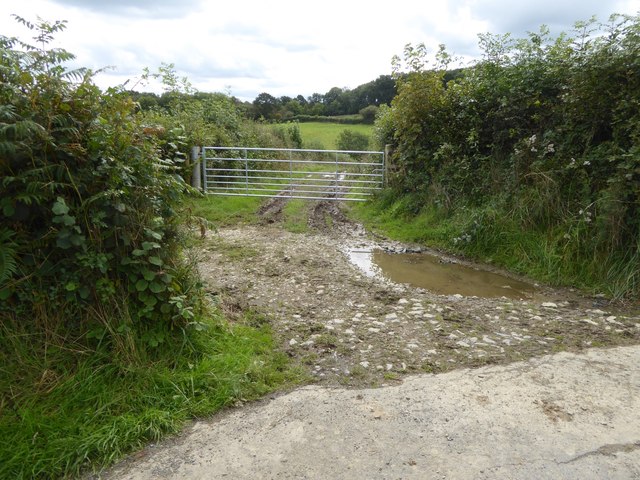
Image: © David Smith Taken: 18 Sep 2017
The track leads between fields; there is a gate to the field on the left at this entrance. Formerly the track led to an area of marshland, now reclaimed
Images are licensed for reuse under creativecommons.org/licenses/by-sa/2.0
Image Location


Leaflet Map data © OpenStreetMap
Latitude
50.781571
Longitude
-4.063565