Grade II listed former Penuel Chapel, Pentyrch
Introduction
The photograph on this page of Grade II listed former Penuel Chapel, Pentyrch by Jaggery as part of the Geograph project.
The Geograph project started in 2005 with the aim of publishing, organising and preserving representative images for every square kilometre of Great Britain, Ireland and the Isle of Man.

There are currently over 7.5m images from over 14,400 individuals and you can help contribute to the project by visiting https://www.geograph.org.uk
Grade II listed former Penuel Chapel, Pentyrch
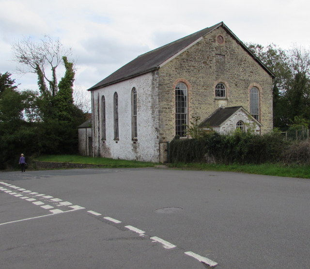
Image: © Jaggery Taken: 22 Sep 2017
The former Baptist chapel dating from 1837 was converted to a house in the late 20th century. Grade II listed in 2000. http://www.geograph.org.uk/photo/5546553 to a closer view.
Images are licensed for reuse under creativecommons.org/licenses/by-sa/2.0
Image Location
Latitude
51.527031
Longitude
-3.297154