The Manor House country inn
Introduction
The photograph on this page of The Manor House country inn by Robert Graham as part of the Geograph project.
The Geograph project started in 2005 with the aim of publishing, organising and preserving representative images for every square kilometre of Great Britain, Ireland and the Isle of Man.

There are currently over 7.5m images from over 14,400 individuals and you can help contribute to the project by visiting https://www.geograph.org.uk
The Manor House country inn
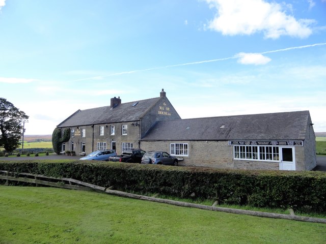
Image: © Robert Graham Taken: 16 Aug 2017
By the side of the A68 a short distance north of Caterway Heads. This was a pub back in 1864 on the first Ordnance Survey map, so has a long history. Its hilltop site commands spectacular views.
Images are licensed for reuse under creativecommons.org/licenses/by-sa/2.0
Image Location
Latitude
54.865013
Longitude
-1.935624