Narrow road to Roborough
Introduction
The photograph on this page of Narrow road to Roborough by Philip Halling as part of the Geograph project.
The Geograph project started in 2005 with the aim of publishing, organising and preserving representative images for every square kilometre of Great Britain, Ireland and the Isle of Man.

There are currently over 7.5m images from over 14,400 individuals and you can help contribute to the project by visiting https://www.geograph.org.uk
Narrow road to Roborough
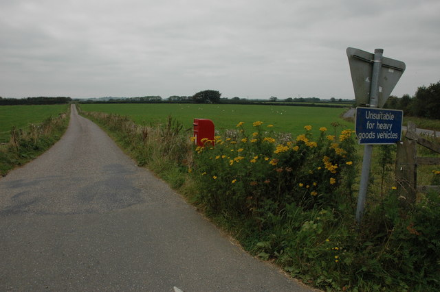
Image: © Philip Halling Taken: 9 Sep 2007
Road to Roborough viewed from its junction with the B3217, the land it passes in this picture is Roborough Common.
Images are licensed for reuse under creativecommons.org/licenses/by-sa/2.0
Image Location
Latitude
50.919886
Longitude
-4.012483