A crumbling bench mark in Stanley Road, Twickenham
Introduction
The photograph on this page of A crumbling bench mark in Stanley Road, Twickenham by John S Turner as part of the Geograph project.
The Geograph project started in 2005 with the aim of publishing, organising and preserving representative images for every square kilometre of Great Britain, Ireland and the Isle of Man.

There are currently over 7.5m images from over 14,400 individuals and you can help contribute to the project by visiting https://www.geograph.org.uk
A crumbling bench mark in Stanley Road, Twickenham
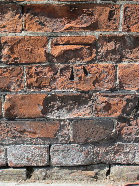
Image: © John S Turner Taken: 12 May 2012
This Ordnance Survey bench mark has deteriorated on its crumbling brickwork. The railway bridge to the left has been rebuilt, but this buttress is part of the old wall that borders the old tramway/bus depot in Stanley Road. See also Image
Images are licensed for reuse under creativecommons.org/licenses/by-sa/2.0
Image Location
Latitude
51.434616
Longitude
-0.346853