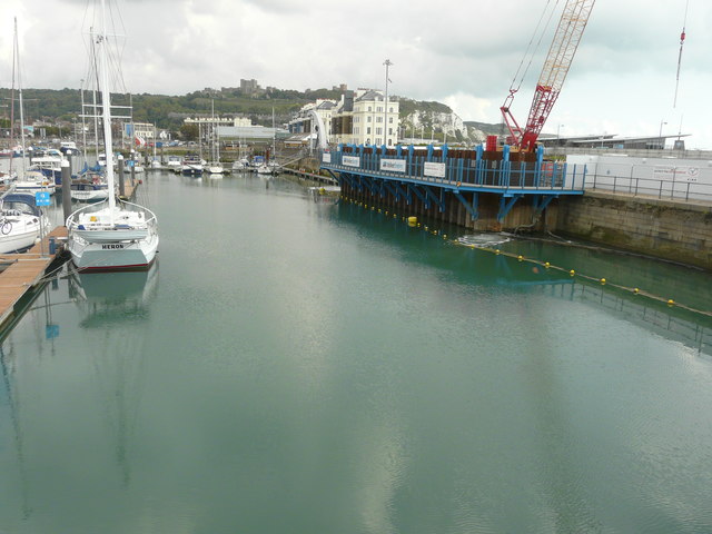
Construction site, quay beside Wellington Dock
Introduction
The photograph on this page of Construction site, quay beside Wellington Dock by John Baker as part of the Geograph project.
The Geograph project started in 2005 with the aim of publishing, organising and preserving representative images for every square kilometre of Great Britain, Ireland and the Isle of Man.
There are currently over 7.5m images from over 14,400 individuals and you can help contribute to the project by visiting https://www.geograph.org.uk

Image: © John Baker Taken: 1 Sep 2017
Compared with Image, at last the reason for the construction of the blue walking gates has been revealed. They are to provide a new pedestrian and cyclist route, as the former Image and it is in use. Planning permission was granted by Dover District Council under application number DOV/16/00308 for the “removal of part of quay wall to facilitate the creation of a new navigation channel between Wellington Dock and the Harbour and installation of a new retaining structure to close existing access between the Tidal Basin and Wellington Dock”. Planning permission was also granted by Dover District Council, under application number DOV/16/01305, for the “modification of legal agreement (under S.106 of the Town and Country Planning Act 1990) to planning permission DOV/98/00334, to allow for the removal of 20 off-street residents parking spaces (to facilitate [a] navigational cut between Dover Harbour and Wellington Dock under the Dover Western Docks Revival Scheme). More images of the construction site may be seen on http://www.doverforum.com/sea-news/

