Barn in area of rough grazing
Introduction
The photograph on this page of Barn in area of rough grazing by Trevor Littlewood as part of the Geograph project.
The Geograph project started in 2005 with the aim of publishing, organising and preserving representative images for every square kilometre of Great Britain, Ireland and the Isle of Man.

There are currently over 7.5m images from over 14,400 individuals and you can help contribute to the project by visiting https://www.geograph.org.uk
Barn in area of rough grazing
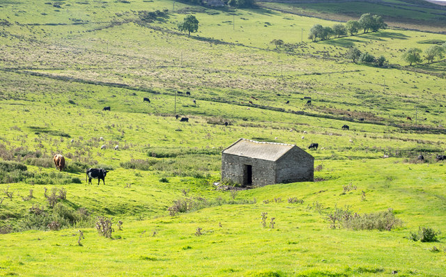
Image: © Trevor Littlewood Taken: 19 Sep 2017
The barn and grazing land is close to farms at Low Greenas and High Greenas. Virtually all of the ground in view is above 300 metres or 1000 feet in altitude which would explain the rather poor nature of the grazing.
Images are licensed for reuse under creativecommons.org/licenses/by-sa/2.0
Image Location
Latitude
54.41269
Longitude
-1.901355