View from Lighter Than Air Road
Introduction
The photograph on this page of View from Lighter Than Air Road by Ian Paterson as part of the Geograph project.
The Geograph project started in 2005 with the aim of publishing, organising and preserving representative images for every square kilometre of Great Britain, Ireland and the Isle of Man.

There are currently over 7.5m images from over 14,400 individuals and you can help contribute to the project by visiting https://www.geograph.org.uk
View from Lighter Than Air Road
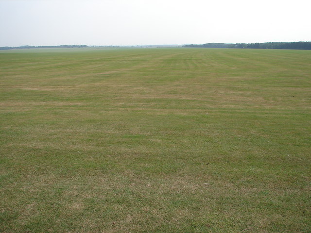
Image: © Ian Paterson Taken: 13 Sep 2007
This vast area is an airstrip used mainly by gliders rather than airships, which once were based here at RAF Cranwell, hence the name of the road.
Images are licensed for reuse under creativecommons.org/licenses/by-sa/2.0
Image Location
Latitude
53.040389
Longitude
-0.497743